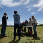
Austin Community College Geographic Information Systems (GIS) students are learning how to create detailed maps using drone technology. Students tested their skills at Zilker Park with a mapping drone called the Robota Eclipse UAV (unmanned … Continue reading


